Search Constraints
You searched for:
Period 19th century
Remove constraint Period: 19th centuryAssociated Places Northamptonshire (England)
Remove constraint Associated Places: Northamptonshire (England)Search Results
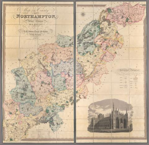
1. Map of the county of Northampton / from actual survey by A. Bryant, in the years 1824, 1825 & 1826.

- Date:
- 1827
- Physical Description:
- 1 map on 2 sheets : hand col., mounted on linen ; 386 x 196 cm., sheets 193 x 98 cm., folded to 25 x 17 cm., in case 27 x 19 cm.
- Collection:
- Rare Books and Manuscripts

- Date:
- 1817?
- Physical Description:
- 2 v.
- Collection:
- Rare Books and Manuscripts

- Date:
- 1806
- Physical Description:
- 55 p., [14] leaves of plates : ill., ports. ; 24 cm.
- Collection:
- Rare Books and Manuscripts

- Date:
- 1849
- Physical Description:
- xv, [1], [11]-962 p. ; 23 cm.
- Collection:
- Rare Books and Manuscripts

- Date:
- 1817
- Physical Description:
- [2], vii, [1], [3], [16] leaves of plates : ill. ; 30 cm.
- Collection:
- Rare Books and Manuscripts

- Date:
- [1864-1865]
- Physical Description:
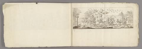
- 25 drawings (1 album) : graphite ; 14 x 19 cm.
- Collection:
- Rare Books and Manuscripts
- Credit Line:
- Yale Center for British Art, Gift of David Doret, Yale BA 1968, and Linda Mitchell

- Date:
- 1849
- Physical Description:
- vi, [2], 256, [2] p., [11] leaves of plates (one folded) : ill., plan, map ; 20 cm.
- Collection:
- Rare Books and Manuscripts

- Date:
- 1878
- Physical Description:
- xxxi, [1], 244 p. map (in pocket), plan 18 cm.
- Collection:
- Reference Library

- Date:
- 1874
- Collection:
- Reference Library