Search Constraints
You searched for:
Period 17th century
Remove constraint Period: 17th centuryWork Type etching
Remove constraint Work Type: etchingClassification Maps & Atlas (printed)
Remove constraint Classification: Maps & Atlas (printed)Search Results
![[The travellers guide : being the best mapp of the kingdom of England and principalaty [sic] of Wales. Wherein are delineated 3000 towns and villages more than in any mapp yet extent besides ye notations of bridges & rivers &c. To which is added ye direct and cross roads according to Mr. Ogilby's late survey. / Described by C: Saxton and now carefully corrected with new additions by Phillip Lea].](https://media.collections.yale.edu/thumbnail/ycba/906da49f-9f3d-41c8-9cb7-2f67ee863785)
- Date:
- [1686?]
- Physical Description:
- 1 atlas ([10] sheets) : hand colored maps ; sheets 28 x 69 cm, and smaller
- Collection:
- Rare Books and Manuscripts

- Date:
- [1666?]
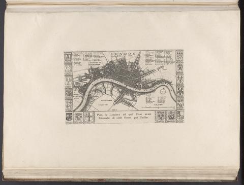
- Physical Description:
- 1 map ; 14 x 24 cm., on sheet 37 x 55 cm.
- Collection:
- Rare Books and Manuscripts

- Date:
- [ca. 1681]
- Physical Description:
- 1 map ; 46 x 52 cm
- Collection:
- Rare Books and Manuscripts

- Date:
- [1650?]
- Physical Description:
- 1 map; 40 x 51 cm
- Collection:
- Rare Books and Manuscripts

- Date:
- [1673]
- Physical Description:
- 1 map ; 29.9 x 27 cm
- Collection:
- Rare Books and Manuscripts
- Credit Line:
- Yale Center for British Art, Gift of David Alan Richards, Yale BA 1967, JD 1972

- Date:
- [1690]
- Physical Description:
- 1 atlas ([25] leaves) : illustrations, maps, plans ; 25 cm
- Collection:
- Rare Books and Manuscripts

- Date:
- [ca. 1660]
- Physical Description:
- 1 map ; 36 x 48 cm
- Collection:
- Rare Books and Manuscripts